

National Park of the Metalliferous Hills
The National Park of the Metalliferous Hills is a European Geopark with an extraordinary geological heritage, including the territory of the seven municipalities north of the Province of Grosseto – Follonica, Gavorrano, Massa Marittima, Montieri, Monterotondo Marittimo, Roccastrada e Scarlino – and consists of a consortium which includes the Ministry for Environment, the Ministry of Cultural Heritage and Activities and Tourism, the Region of Tuscany, the Province of Grosseto, the Mountain Community of the Metalliferous Hills and the seven municipal administrations. It works for the recovery, conservation and enhancement of the environmental, historical, cultural and technical-scientific heritage of the Metalliferous Hills, marked in particular by the mining experience, and promotes a tourist-cultural circuit.
www.parcocollinemetallifere.it
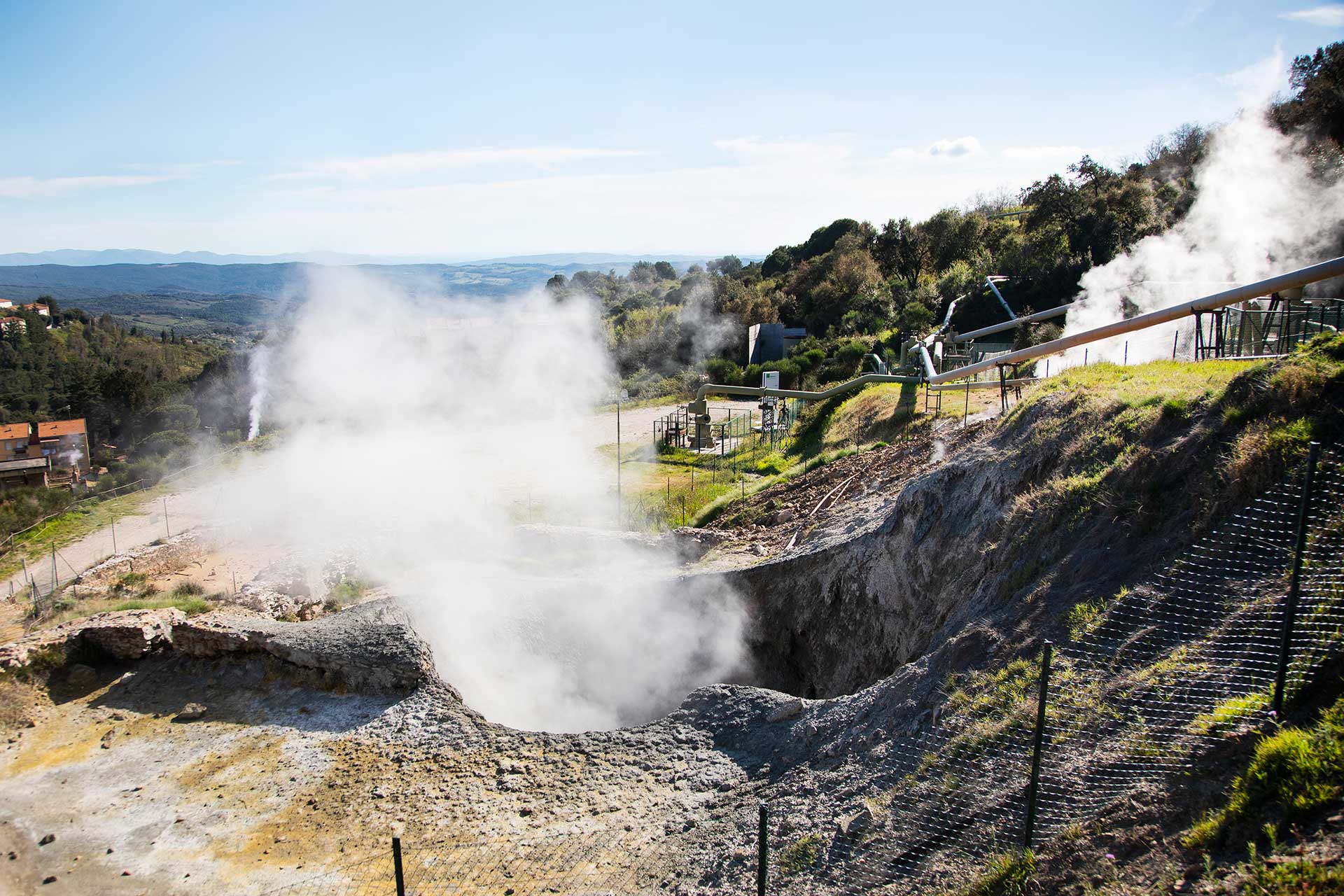
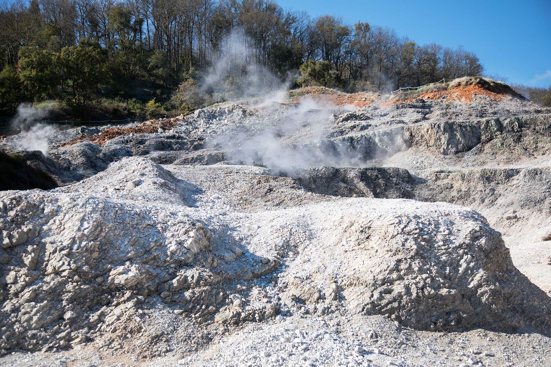

The Biancane Geosite
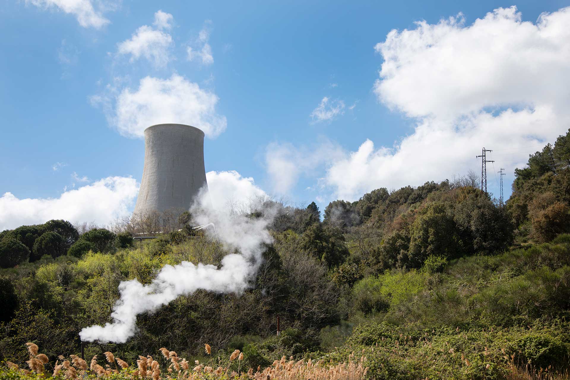
The origins of geothermal energy
The exploitation of geothermal resources in the world history has a record in this area. In Monterotondo Marittimo the first artificial fumarole was created, while in Larderello the world’s first geothermal power plant world was built. Let us therefore explore the great deeds of Tuscan geothermal energy! Turning the handwheel we can select a phase of this history and by pressing the button we can start a movie that shows developments and innovations.
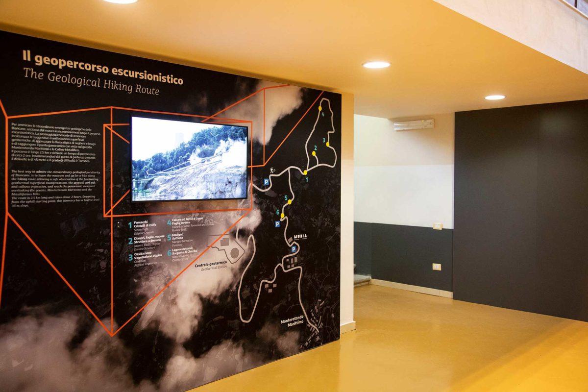
The trekking route in the geopark
If you want to admire the extraordinary geological characteristics of the Biancane, you only have to leave the museum and walk along the trekking route. The walk allows you to safely observe the suggestive surface geothermal manifestations, to appreciate the atypical cork oak and heather flora and to reach the panoramic point, where you can enjoy the view of the geosite, Monterotondo Marittimo and the Metalliferous Hills.
The route is 2.5 km long and takes about 2 hours. Starting from the starting point on the top, the difference in height is 45 meters and the degree of difficulty is Tourist.
Geological map of the Biancane
Most of the information we find in the museum is the result of meticulous geological and mineralogical surveys carried out in the countryside during the years 2017/18.
The results of this work are reported in the Geological Map, which is the most important learning tool that allows us to understand this area.
Coloured backgrounds show the rocky bodies responsible for the peculiarity of the geosite, while a series of symbols represent the geological elements and the manifestations that characterize the Biancane of Monterotondo Marittimo.